OpenStreetMap logo OpenStreetMap

jonnymccullagh's Diary

Recent diary entries

Mapathon scheduled in Belfast

Posted by jonnymccullagh on 22 January 2026 in English.

A Mapathon has been organised for Saturday 21st February 2026 from 11am to 1pm in Belfast. Pizza will be provided at QUB Geosciences building on Elmwood Avenue behind the Student’s Union. Numbers are limited to 30 attendees.

Sign up on eventbrite here: https://www.eventbrite.co.uk/e/belfast-openstreetmap-workshop-tickets-1981332125724

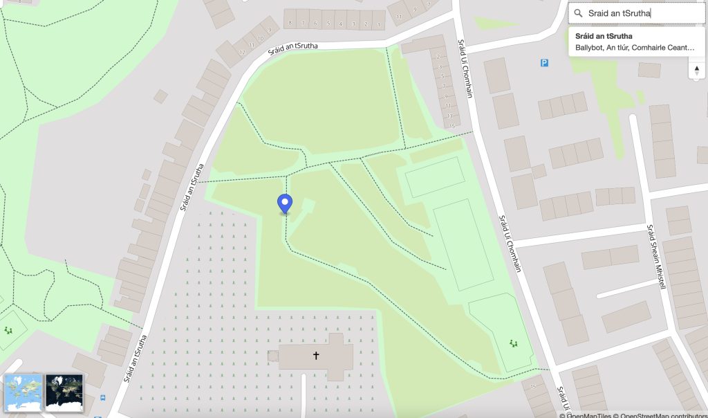
Event Location: osm.org/#map=19/54.585251/-5.939057

Location: Malone Lower, Windsor, Belfast, Belfast City District, County Antrim, Northern Ireland, United Kingdom

Léarscáil 2025

Posted by jonnymccullagh on 10 November 2025 in English.

As part of the Ireland chapter of OpenStreetMap a few years ago I set up a tileserver and a map frontend that defaulted to showing placenames in the Irish language (Gaeilge). Recently I spent some time improving both these services.

Vector Tileserver

Previously the default style was named ‘ga’ and available at: https://tileserver.openstreetmap.ie/styles/ga However, last weekend I added a new ‘style’ named ‘sraid-v1’. You can take a look at it here: https://tileserver.openstreetmap.ie/styles/sraid-v1/ The screenshots below show a comparison. The new style is much brighter and has icons generated from Maki icons into a sprite sheet (see generate_sprites.py in the github repo). I also fixed a few things I didn’t like about the old ‘ga’ style.

If you are currently using tiles from tileserver.openstreetmap.ie and want to use the new ones, you will need to change the code where it currently points to: https://tileserver.openstreetmap.ie/styles/ga/ You can now use: https://tileserver.openstreetmap.ie/styles/sraid-v1/ So to use this vector tileset you might use something like the code below with MapLibreGL var map = new maplibregl.Map({ container: 'map', style: 'https://tileserver.openstreetmap.ie/styles/sraid-v1/style.json' + keyParam, hash: true, maxPitch: 85 }); The previous style ‘ga’ is still present so there should be no breaks in functionality if you choose to continue using the old style. The code is available here: https://github.com/jonnymccullagh/irish-language-osm-tiles

Léarscáil

See full entry

Léarscáil na hÉireann

Posted by jonnymccullagh on 15 September 2023 in English.

OpenStreetMap Ireland identified a need for a map of Ireland showing place names in the Irish language (Gaeilge) and to encourage more Irish language additions to OpenStreetMap (OSM). Some other mapping services show only town names in Irish when Irish is set as the preferred language in the web browser; however we wanted a map that would ‘by default’ show towns, streets and other places using the Irish place name.

We named this service ‘léarscáil’ which translates to English as ‘map’. The service is available at learscail.openstreetmap.ie Screenshot Any streets that do not have a tag for name:ga within OpenStreetMap are left blank on léarscáil – this is by-design – to encourage everyone to fill-in-the-blanks. We use official street name signs as the source for the translations.

Technical

We made use of several open technologies to solve the problem including:

See full entry

Location: Castlewilder, Agharra ED, Ballymahon Municipal District, County Longford, Leinster, Ireland