
Collaborative mapping of beach access with OpenStreetMap (Full version)
Posted by Raquel Dezidério Souto on 9 December 2025 in English.Do you know how to map access points to the beach?
Check out the tagging scheme that we have developed for mapping access to beaches and other coastal recreational areas
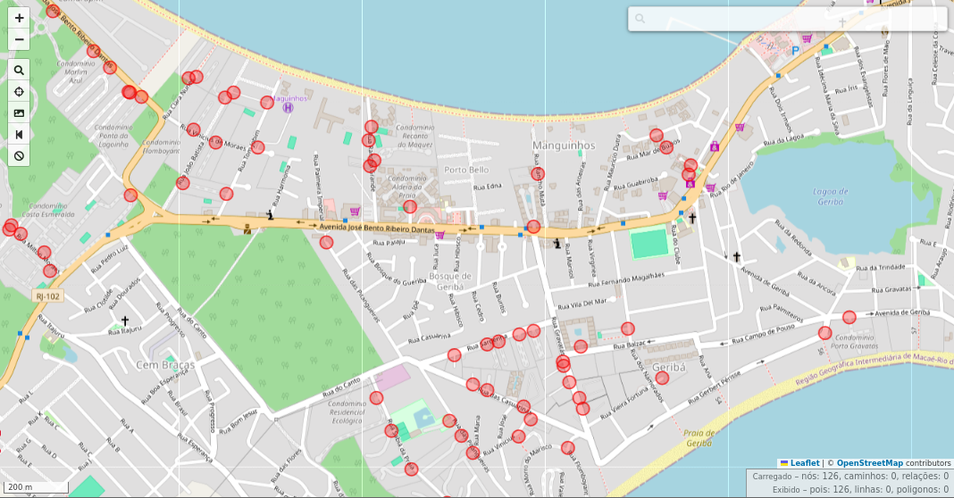
Manguinhos Bay, Armação dos Búzios, Rio de Janeiro, Brazil, viewed in the overpass turbo, filtering tag barrier=gate (red). Mapa data © OpenStreetMap contributors, Nov. 15, 2025.
Collaborative mapping of beach access with OpenStreetMap
I participated as a Keynote Speaker in the II Beach Access Network (BAN) Research Workshop, held between August 18 and 20, 2025, at Casa da Ciência, Rio de Janeiro (Brazil), and showed how to map beach access points with OpenStreetMap. Now you can read the text about the tagging scheme and some details of this mapping.
Download the text
The beach accesses are public in Brazil and in many other countries, but these areas are under pressure from the economic sector that seek to close access to a privileged people, especially those living in condominiums and resorts in coastal areas.
This text is the full version of the expanded summary that will be part of the book titled Public Access to Beaches: Management and Conflicts, to be released in 2026 by the IVIDES Publishing.
In the text, I present the actual Brazilian legal framework that guarantees public access to these areas, and two Federal Law projects that attempt to restrict access to certain areas and change the responsibility for authorizing access.
I also present a set of tags to be used for mapping these access points with OpenStreetMap and a discussion about the visualization of these tags in the standard OSM render and through online consultation with overpass turbo.
With the publication of this study, we hope to show how versatile OSM is, facilitating detailed mapping of these access points, as well as drawing attention to the value of beaches as public assets that should remain accessible to all.
![]()
Discussion