Elliptical toponyms, or why we must pay attention to generic terms in names
Posted by darkonus on 8 February 2026 in English.The seriousness with which the OpenStreetMap community approaches discussions is a true strength of the project. Over years of debate, the community has formed a highly cohesive tagging system for names. These guidelines are simple for beginners, yet they allow for the precise classification and mapping of real-world names. A name is perhaps the most vital piece of data for most users—it is what they want to see on screens and paper, hear via voice navigation, and even touch.
However, this post isn’t about which tag to choose, but rather the format in which the name should be entered. I want to discuss the phenomenon of ellipsis—or, to put it simply, the shortening of names—and what we as mappers should watch out for when collecting and adding toponyms to the map.
What are elliptical toponyms?
Elliptical toponyms are geographical proper names that have been historically truncated or shortened in oral or written use. These are often names that originally included a generic term (a word indicating the type of object), which over time partially or completely disappeared. The table below shows several examples of such “shortened” Scandinavian and Baltic toponyms:
| Historical Full Form | Truncated Form | Explanation |
|---|---|---|
| Sed-ezeris | Sedzeris | The hydronym “Lake Seda” lost the generic term ezeris (lake). |
| Spanggroben | Spanget | A neighborhood near a stream; the second element -groben (ditch/trench) was dropped. |
| Stampedam | Stampen | A farmstead near a pond; the second element -dam (pond) was dropped, leaving only the specific element. |
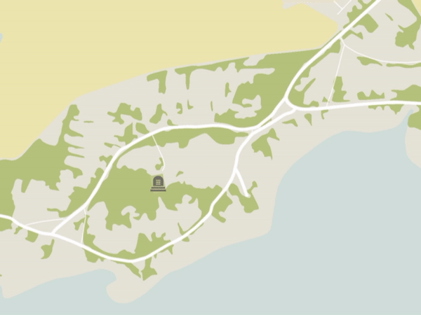
| Sankt Peters Kirche | Sankt Peter | St. Peter’s Church; the second element Kirche (church) was dropped. |